Utilizing MSMAware to Design Storm Scenarios for Specific Locations
In an age where unpredictable weather events can have devastating effects on communities and economies, preparing for storms is more crucial than ever. MSMAware offers invaluable resources for designing, analyzing, and implementing scenarios that account for the unique characteristics of specific locations. This blog post will delve into how MSMAware can be leveraged effectively to craft storm scenarios that can enhance preparedness and response efforts.
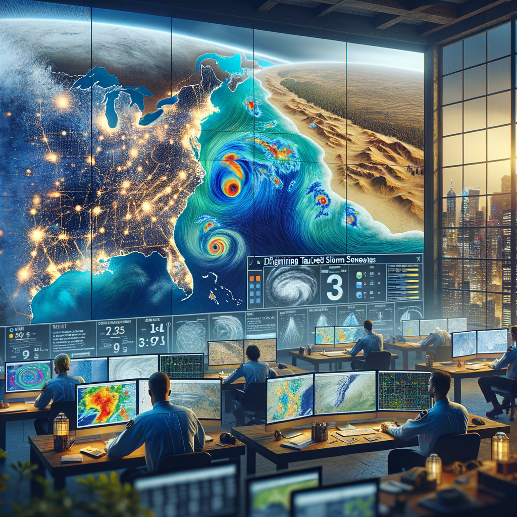
Understanding MSMAware
MSMAware is a sophisticated tool developed for the analysis and simulation of meteorological events. Its functionality allows users to:
- Visualize storm patterns in a geographical context.
- Predict outcomes based on variable inputs, such as terrain and climate data.
- Facilitate decision-making at local, regional, and national levels.
This software is crucial for entities ranging from government agencies to disaster management organizations, enabling them to predict potential impacts and prepare accordingly.
Why Design Storm Scenarios?
Effective storm scenario design is vital for the following reasons:
- Risk Mitigation: Understanding potential storm impacts enables communities to enact preventive measures.
- Resource Allocation: By forecasting storm paths, resources can be allocated efficiently to areas that need them the most.
- Public Safety: Tailored storm scenarios increase the readiness of emergency services and inform the public in a timely manner.
Steps to Designing Storm Scenarios with MSMAware
Designing effective storm scenarios using MSMAware involves several systematic steps:
1. Data Collection
Gather relevant meteorological data, which may include:
- Historical storm data
- Current weather patterns
- Geographical information such as elevation, vegetation, and land use
2. Input Parameters into MSMAware
Utilize the gathered data to set parameters in MSMAware. Adjust variables such as:
- Storm intensity
- Wind speed
- Precipitation levels
3. Run Simulations
Execute simulations to generate potential outcomes. Analyze results for:
- Flood zones
- Wind damage risk areas
- Evacuation routes and logistics
4. Analyze and Develop Strategies
Upon reviewing the simulation results, develop mitigation and response strategies appropriate for the scenarios designed. This could involve:
- Community engagement sessions to discuss preparation measures
- Infrastructure improvements to reduce vulnerabilities
- Crafting effective communication plans for disseminating information
Case Studies: Success Stories
Numerous regions have successfully employed MSMAware to enhance their storm preparedness. Two notable examples include:
1. Coastal Community Preparation
A coastal city utilized MSMAware to simulate hurricane impacts. By analyzing potential storm surge areas, city planners were able to:
- Identify at-risk neighborhoods
- Allocate resources for flood defenses
- Establish emergency evacuation routes
2. Inland Flood Risk Assessment
An inland region harnessed MSMAware to design flood scenarios resulting from extreme rainfall. Findings led to:
- Investments in drainage infrastructure
- Public awareness campaigns
- Policies aimed at sustainable land use management
Conclusion: The Path Forward
In conclusion, utilizing MSMAware to design tailored storm scenarios is a fundamental approach to enhancing community resilience. Whether for government agencies, disaster response organizations, or private sector entities, taking the initiative to prepare for potential weather events can save lives and mitigate economic impacts. It is essential for stakeholders to embrace this technology and integrate it into their disaster preparedness plans to build stronger, more resilient communities.
If you are part of an organization responsible for disaster response, consider reaching out to learn more about how MSMAware can transform your storm preparation strategies. Together, let us pave the way for a safer future.